Orienteering Information
The art of using a magnetic compass to navigate is known as orienteering, closely linked to knowing how to read a topographic map. This activity is also part of a friendly competitive sport — learn more at Orienteering USA.
Equipment
You just need a compass, which can be obtained at most camping goods stores.
Some cell phones or GPS receivers have a built-in compass, but that's overkill and can distract you from the task at hand. A traditional manually-operated magnetic compass is a small inexpensive device, easy to learn to use, and you will enjoy understanding how they work.
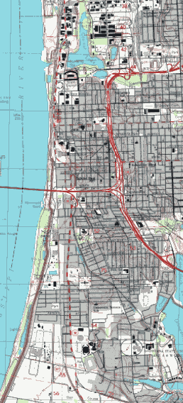
Free USGS Topographic Map
For city hikes you do not need a topographic map, but you might want to have one with you for fun and to increase familiarity with them. Topographic maps can be downloaded free-of-charge from the United States Geological Service. Search for “Baton Rouge West” at store.usgs.gov. Printed maps can be purchased at most camping goods stores.